
(The Mog Nation Wiki, an archive)

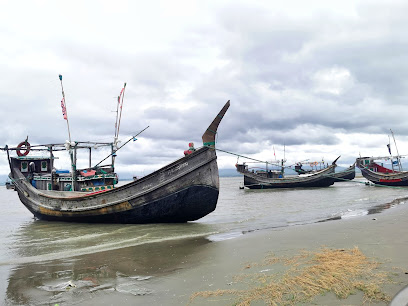
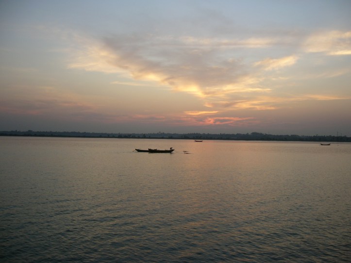
Shapuree, Shahpori, Shah Parir, Shapura, or Shinmabyu Island (Bengali: শাহপরী দ্বীপ, romanized: Sahapari Dwip; Burmese: ရှင်မဖြူကျွန်း) is located in Bangladesh at the mouth of the Naf River, a maritime-boundary between Bangladesh and Myanmar. Historically, it was claimed by the British during the First Anglo-Burmese War. The island forms an extension of the peninsula of Teknaf Upazila.
Source
- Shapuree Island | wikipedia
References
- Mainuddin, Md (2012). “Teknaf Upazila”. In Islam, Sirajul; Jamal, Ahmed A. (eds.). Banglapedia: National Encyclopedia of Bangladesh (Second ed.). Asiatic Society of Bangladesh.
- Tucker, S.C. (2009), A Global Chronology of Conflict: From the Ancient World to the Modern Middle East [6 volumes]: From the Ancient World to the Modern Middle East, ABC-CLIO, p. 1142, ISBN 9781851096725
- Dorothy Woodman (1962). The Making of Burma (1 ed.). London: The Cresset Press. p. 60.
End Notes and External links
- On the Irrawaddy a Story of The First Burmese War
- Memoir of the three campaigns of Major-General Sir Archibald Campbell’s army By Sir Henry Havelock at Google Books
- Khan, Nasir (2012). “Teknaf Upazila Map”. In Islam, Sirajul; Jamal, Ahmed A. (eds.). Banglapedia: National Encyclopedia of Bangladesh (Second ed.). Asiatic Society of Bangladesh. – Map of Teknaf Upazila, showing “Shah-Parir Island”
- Last updated on 11th February 2022
The Mog Nation Wiki
Kyaw Zaw Oo
- Kyaw Zaw Oo’s Blog
- Kyaw Zaw Oo | Facebook
- ကျော်ဇောဦး | Facebook
- Kyaw Zaw Oo | Twitter
